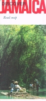
Jamaica Road Maps with Hotels Spotted
Useful to see when hotels came and went. Also useful in finding what is at a spot now is WikiMapia, where people identify what is seen in Google's satellite photos.
Maps Included in Publications
There are maps spotting hotels in material in the Tourism folder. They are collected here:
Pleasure Island: The Book of Jamaica
Key to Jamaica
- From 1953 to 1957 the issues had a Hotel Map of Jamaica. After that the hotels were removed, and the map focused on the mountains and the sea.
- The March 1960 issue had a Map of Kingston spotting hotels and other sites.
Focus on Jamaica
- The 1963-1964 issues had two maps, the same throughout. The hotels are very carefully located.
- Issues from 1966 to 1974 had the same full country map, which started untitled, then became
- Issues in 1968 and 1969 had three downtown maps that had hotels:
- Issues having four detail maps twisted in all directions. Like north is south. Really.
- Issues in 1971 through 1973 had four aerial view pictorial maps drawn in 1970 by artist Michael Leszczynski of Montego Bay. The map did not change.
- Issues in 1974 and 1975 had seven maps:
Dedicated Maps
Contents:

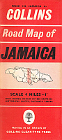
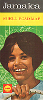
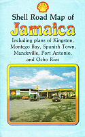
Collins Press/Shell
The Collins map is undated and appears to be from the late-1950s. It has the Shell logo on the back. The 1964 map was printed in the UK by Waddie & Co. Ltd. The 1971 map was published by R.T. West & Co. Ltd., London. The 1964 one is fully scanned, but in 1971 the map grew to 31" x 25" and the type became illegible. Literally! So only the five small detail maps were scanned, and enlarged. The 1985 one is 40" x 27" and is copyright Macmillan Publishers Ltd. It was unlikely to have been a free map.
1985

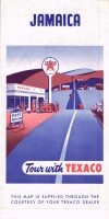
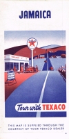
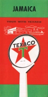
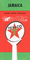
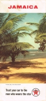
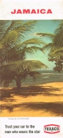
Texaco/Rand McNally
Up through 1962 they were 21" x 14". Then they went to 33" x 18". [Not all yet scanned.]
Insert Map Slide Show:
1965

1966

1967
1968

1969

1970

1972

1973
1975
1990

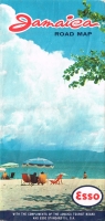
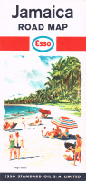
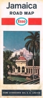
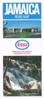
Esso/General Drafting Co/Jamaica Tourism Board/American Map Corporation
The same map, with different covers, was given out by Esso and by The Jamaica Tourism Board. The 1967 map was a no-change reprint of the 1966 map. Hover over thumbnail to see the other cover. Maps started as 24" x 16-3/4". In 1972 they became 32-1/2" x 18". All 11 different years I have are scanned in full here.
Insert Map Slide Shows:
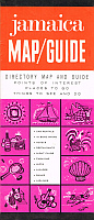
Tourist Maps

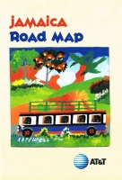
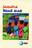
ATT/Cartographers Ltd.
In the days, these maps existed for all the Caribbean islands with tourists. And were given away everywhere. They list and spot all the hotels.
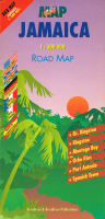
New Maps that are For Sale
All of these are sumptuous. Thumbnails link to Amazon.
Berndtson &
Berndtson
1994